Crie a sua conta
10 things to do in Porto with children
Explore Porto as a family with 10 activities combining history, nature, science, animals, books and time outdoors.
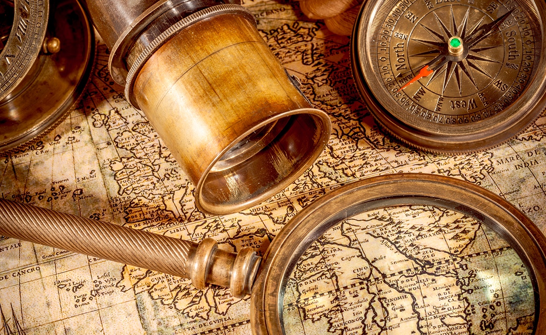
During the Age of Discoveries, geographical information became a strategic resource. Nautical charts, sailing directions, information about coastlines and ports, and the experience of pilots themselves could make the difference between finding a commercial route and sailing almost blindly.
Portugal therefore tried to protect part of this knowledge through measures associated with what later became known as the Portuguese secrecy policy.
But there is a particularly intriguing side to this story: despite efforts to control information, some of the kingdom’s most valuable secrets still found their way abroad.
To understand why cartography caused such concern, we need to forget our modern idea of a map for a moment. A nautical chart from the 15th or 16th century could bring together information gathered over several expeditions: coastlines, islands, capes and ports, courses, distances, latitudes and other data essential to navigation.
Each new voyage could add information, correct errors and make routes more precise. That knowledge had been gained through time, investment and risk.
Giving a good nautical chart to a rival power meant allowing it to benefit from part of that experience without having to repeat the entire process of exploration. It is hardly surprising that maps attracted so much interest.
One of the most fascinating episodes in this story took place in 1502. Alberto Cantino was in Lisbon serving Ercole I d’Este, Duke of Ferrara, when he succeeded in obtaining a large Portuguese chart showing some of the most recent geographical discoveries.
Today, we know it as the Cantino Planisphere. On 19 November 1502, Cantino informed the duke that he had obtained the map. We even know how much it cost him: 12 gold ducats.
The planisphere contained remarkably recent information for its time, including representations of Africa, the Indian Ocean, part of the Brazilian coast and the Atlantic. In short, it offered a window into Portuguese geographical knowledge at the beginning of the 16th century.
There is, however, an important detail. It is sometimes said that Cantino bribed a cartographer to secretly copy a major map kept by the Portuguese Crown. It is an irresistible espionage story, but we do not know exactly how the planisphere was obtained.
What is documented is that Cantino acquired the chart and paid for it. That alone tells us a great deal about the value placed on cartographic information.
The Cantino Planisphere reached Italy. And, as so often happens with confidential information, the knowledge it contained did not remain isolated for long.
Cartographic elements appearing on the planisphere began to surface in other European works. Information that Portugal had tried to control was therefore circulating among foreign cartographers.
Today, the map is held at the Biblioteca Estense Universitaria in Modena and is one of the most important sources for understanding cartography and geographical knowledge at the beginning of the 16th century. But Cantino was far from the only person interested in Portuguese secrets.
Europe’s leading maritime powers wanted to know what Portugal was discovering. And they were prepared to pay for that information. In 1501, the Venetian Angelo Trevisan, secretary to Venice’s ambassador in Portugal, wrote about the difficulties of obtaining cartographic information in Lisbon. Portuguese controls made access to maps particularly difficult.
Even so, information continued to circulate. Another revealing episode took place in 1503 and involved Juan de la Cosa, a Castilian navigator and cartographer also known for the famous world map bearing his name.
De la Cosa received 25 gold ducats for a mission in Lisbon connected with gathering information. Documentation indicates that seven of those ducats were intended for the purchase of two hydrographic charts. The operation did not go as planned.
Juan de la Cosa was arrested in Portugal, and Queen Isabella of Castile had to intervene on his behalf. The maps nevertheless eventually reached Seville.
The episode shows just how deeply cartography had become part of an international game of espionage and competition for knowledge.
In 1504, during the reign of King Manuel I, we find one of the clearest pieces of evidence that the Portuguese Crown was actively trying to control the circulation of cartographic information. An instruction issued that year prohibited the construction of certain globes and restricted the reproduction of maps of Africa beyond the region of the Manicongo River.
This document is particularly important because it shows that we are not dealing merely with a theory created centuries later. Official measures really did exist to restrict the circulation of Portuguese geographical knowledge. The Crown understood exactly what was at stake. Sea routes meant trade. Trade meant wealth and influence. And a map could show a rival how to get there.
Of course, this game did not work in only one direction. Portugal also wanted to know about the plans, routes and discoveries of its rivals.
In 1510, for example, the Portuguese Alonso Álvares was arrested in Seville. He had been sent by King Manuel I to gather information about Castilian discoveries and to try to persuade the pilot Juan Rodríguez Mafra to enter Portuguese service.
So this was much more than a story about hidden maps. It was a genuine European struggle for knowledge. Cartographers, pilots, cosmographers and navigators were especially valuable because they carried something that could not simply be locked away in a chest: experience. Sometimes, recruiting an experienced pilot could be just as valuable as obtaining a nautical chart.
Yes, but the expression needs to be used with some caution. In the 20th century, Portuguese historian Jaime Cortesão developed an interpretation according to which Portugal had maintained a systematic and wide-ranging strategy of secrecy surrounding its discoveries.
This so-called “secrecy theory” became highly influential in Portuguese historiography, although some of its interpretations remain debated. It is therefore important to distinguish between what is documented and what remains open to interpretation.
There is evidence that Portugal adopted measures to restrict the circulation of nautical charts, sailing directions and other strategic information. There is also evidence of espionage, document purchases, arrests and attempts to recruit pilots.
What cannot be stated with the same certainty is that, throughout the entire Age of Discoveries, there existed a perfectly organised and impermeable system capable of preventing all information from circulating. In fact, episodes involving Cantino and Juan de la Cosa demonstrate precisely the opposite. Secrecy existed. But so did information leaks.
The phrase is tempting and helps communicate just how important cartographic information could be at the time. But it should mainly be understood as an image.
There is not enough documentary evidence to claim, as a general rule, that anyone who showed a Portuguese nautical chart to a foreigner would automatically be sentenced to death.
What we do know is that revealing information considered strategic could have very serious consequences. There were arrests. There were accusations of treason. There were diplomatic conflicts. And there were people paid specifically to obtain other kingdoms’ secrets.
A more accurate way of putting it is that, during the Age of Discoveries, a map could be worth money, power and trade routes and put those trying to obtain it in considerable danger.
The Age of Discoveries was not shaped only by ships, sailors and long ocean voyages. It was also a vast race for information. Whoever knew a coastline first had an advantage. Whoever discovered a route needed to know how to repeat it. Whoever could turn pilots’ experience into charts and sailing directions could send other ships along the same route. And whoever bought, copied or stole that information could save years of exploration.
Centuries before we spoke of confidential information, intellectual property or industrial espionage, Europe’s great maritime kingdoms had already understood a very simple rule: knowledge is power.
At World of Discoveries, you can learn more about the world of navigators, cartographers and the people who transformed observations made at sea into knowledge capable of changing the maps of their time. Come and discover how navigation meant far more than following a route and how a simple piece of parchment could contain some of a kingdom’s most valuable secrets.
Visit World of Discoveries and step into an age when discovering the world also meant trying to prevent others from discovering your secrets first.
It is the expression used to describe measures adopted by Portugal to restrict the circulation of strategic information linked to maritime discoveries, including nautical charts, sailing directions and knowledge of new routes.
Because they brought together knowledge gained through years of navigation. A good chart could reveal coastlines, ports, islands, courses and trade routes, allowing other navigators to benefit from that information without repeating the entire process of exploration.
It is a Portuguese chart obtained by Alberto Cantino in Lisbon in 1502 for the Duke of Ferrara. It contained highly recent geographical information and is now one of the most important sources for studying early 16th-century cartography.
Official measures existed to restrict the reproduction and circulation of certain cartographic information. An instruction issued by King Manuel I in 1504 is one documented example of this control.
Yes. There are documented cases of foreign agents attempting to obtain Portuguese charts and information, while Portugal also sent people to gather intelligence about the discoveries and plans of its rivals.
No. Despite controls, cartographic information and nautical knowledge circulated between European kingdoms. The Cantino Planisphere itself is one of the best-known examples.
Because they carried knowledge acquired through experience. An experienced pilot knew routes, winds, currents, coastlines and navigational techniques that were not always fully recorded on a chart.
Explore Porto as a family with 10 activities combining history, nature, science, animals, books and time outdoors.
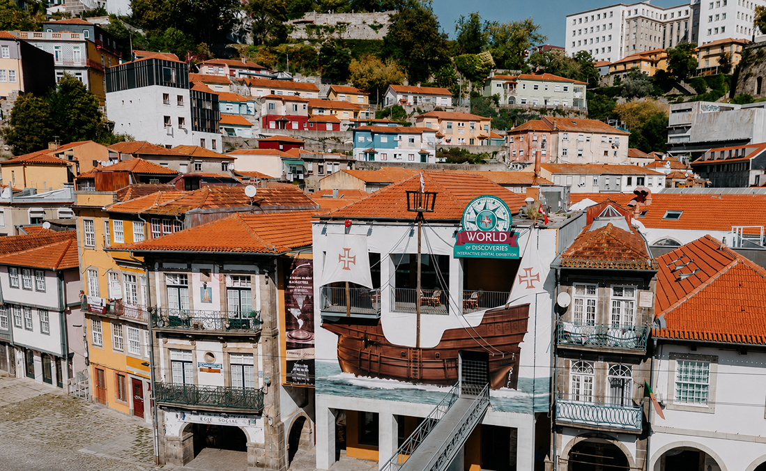
Visit World of Discoveries and explore Miragaia, a historic riverside neighbourhood where Porto’s history is still alive.
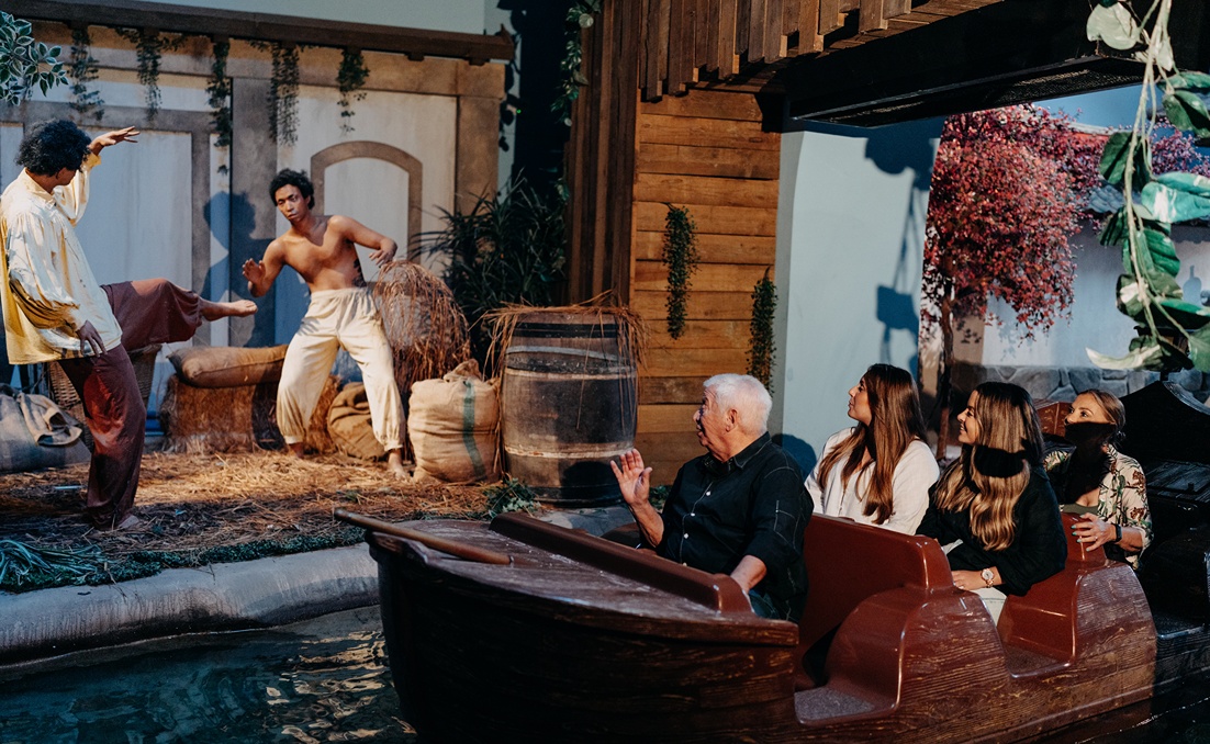
Discover 5 reasons to include World of Discoveries in your summer plans in Porto, with a fun, educational morning designed for the whole family.
World of Discoveries
Welcome aboard the World of Discoveries! How can I assist you?
🟢 Online